
 West Papua (abbreviated as Pabar) is a province of Indonesia located on the western tip of Papua Island. Its capital is Manokwari. The name of this province was previously West Irian Jaya as stipulated in Law Number 45 of 1999. Based on Government Regulation Number 24 of 2007 dated April 18 2007, the name of this province was changed to West Papua. West Papua and Papua are provinces with special autonomy status. West Papua Province, although it has become a separate province, still receives special treatment as its parent province. The province also has its own KPUD and held elections for the first time on April 5, 2004.
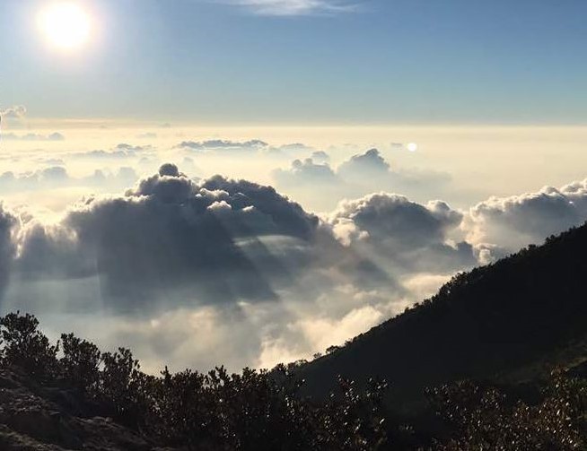 Mountains and Lakes
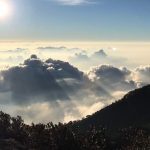
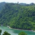
There are several Mountains in West Papua Province, namely; Fak-Fak Mountains in Fak-Fak Regency, Mount Fudi (1,280 m) in Fak-Fak Regency, and Kumafa Mountains in Fak-Fak Regency.
The others are; Arfak Mountains (2,940 m) in Manokwari Regency, Mount Kwoko (3,000 m) in Sorong Regency, Tamarau Mountains, in Sorong Regency, Mount Togwomeri (2,680 m) in Manokwari Regency.
 And others “lower” mountains are; Mount Wasada (1,070 m) in Manokwari Regency, and Mount Wiwi (1,130 m) in Manokwari Regency.
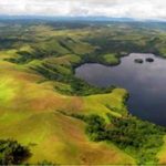
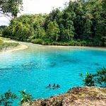
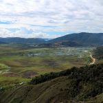
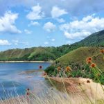
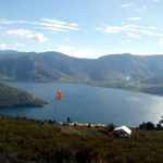
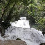
There are several Lakes located in West Papua Province, namely; Ayamaru Lake in Maybrat Regency, Anggi Giji Lake in Arfak Mountains Regency, Anggi Gita Lake in Arfak Mountains Regency, Yamur Lake in Manokwari Regency, and Yawasi Lake in Sorong Regency.
 Potency
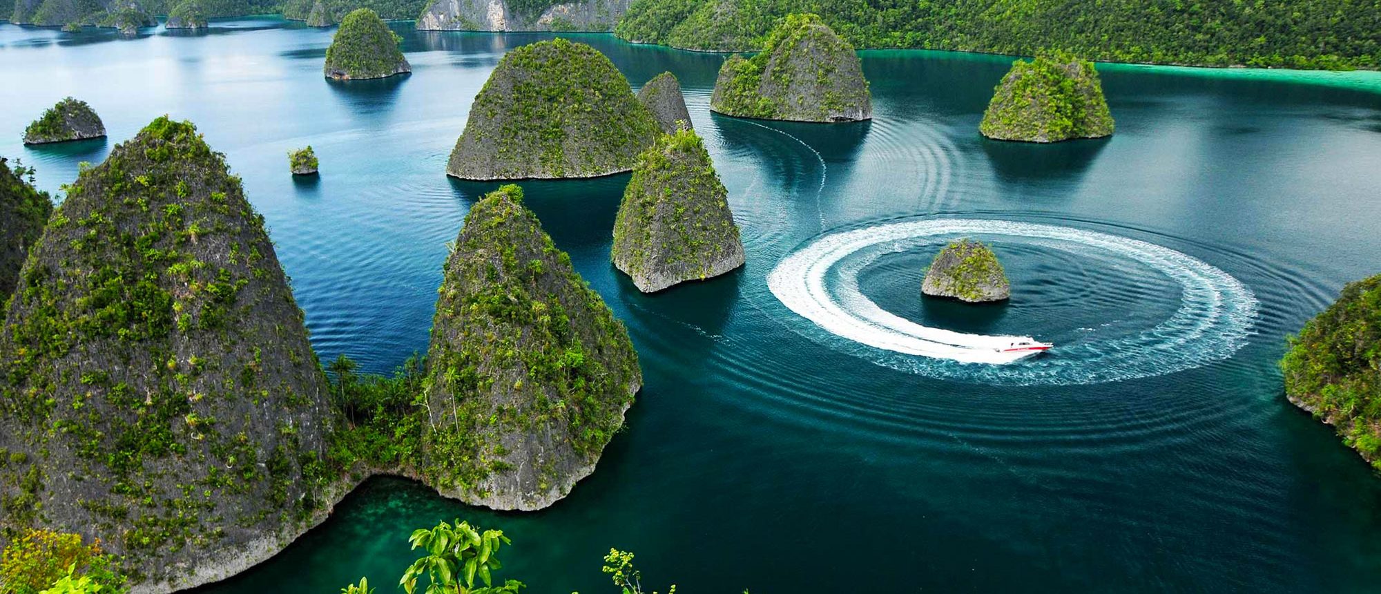
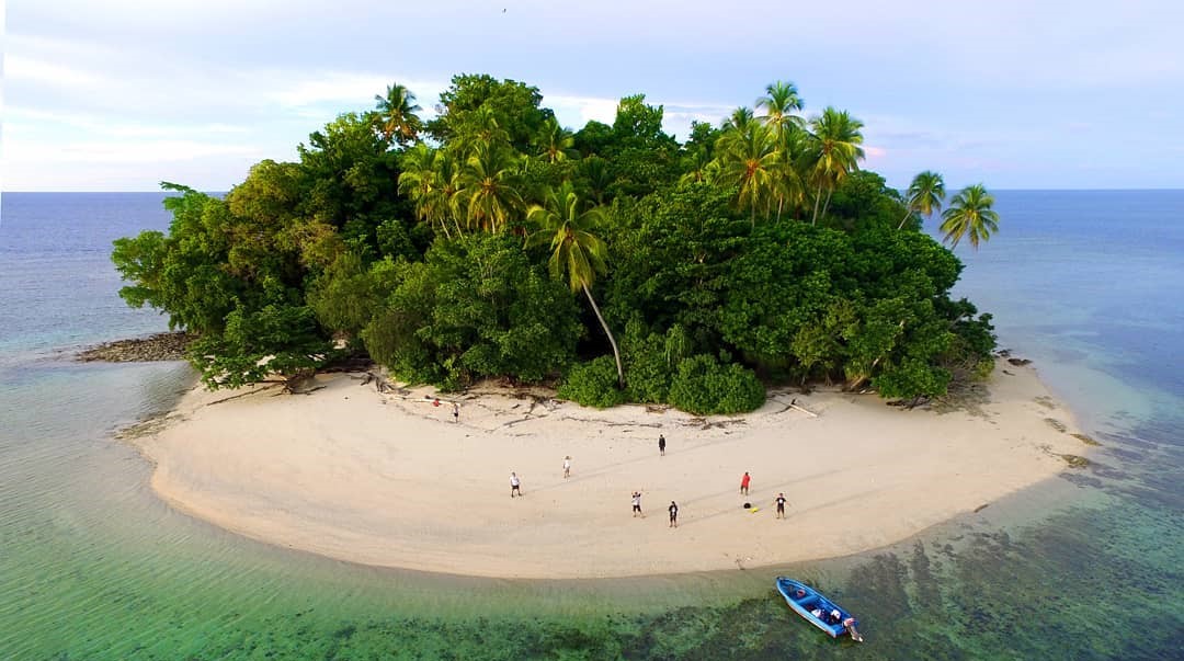
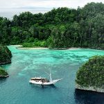
The Province of West Papua has tremendous potential, be it agriculture, mining, forest products and tourism. Pearls and seaweed are produced in the Raja Ampat district while the only traditional weaving industry called Timor cloth is produced in Sorong Selatan district. Fragrant nutmeg syrup can be obtained in Fak-Fak district as well as various other potencies.
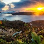
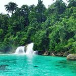
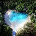
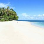
Besides that, natural tourism is also one of the mainstays of West Irian Jaya, such as the Cenderawasih Bay National Park which is located in the Teluk Wondama district.
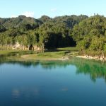
 This National Park stretches from the east of the Kwatisore Peninsula to the north of Rumberpon Island with a coastline of 500 km, a land area of 68,200 ha, a sea area of 1,385,300 ha with details of 80,000 ha of coral reef area and 12,400 ha of ocean.
In addition, recently, a cave was found which was claimed to be the deepest cave in the world by a French specialist expedition team in the Lina Mountains, Irameba Village, Anggi District, Manokwari Regency. This cave is estimated to reach a depth of 2000 meters. The mountainous area in West Papua still has a natural wealth mystery that needs to be uncovered.
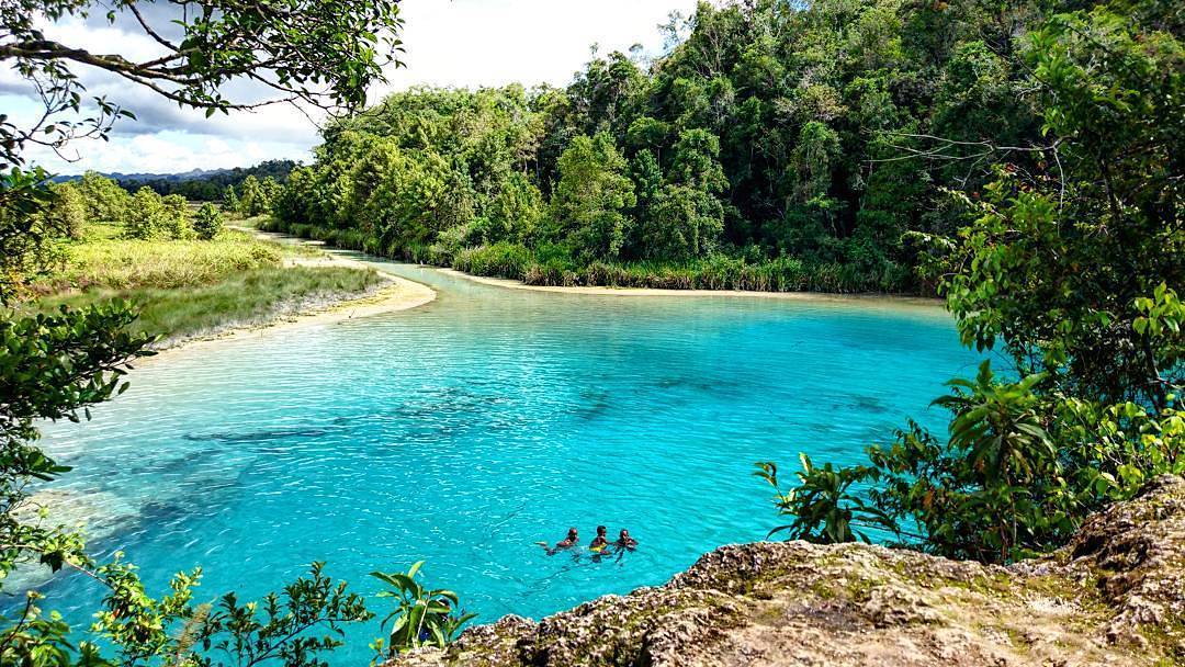
 Teluk Cenderawasih National Park
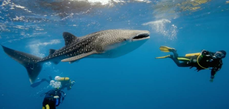
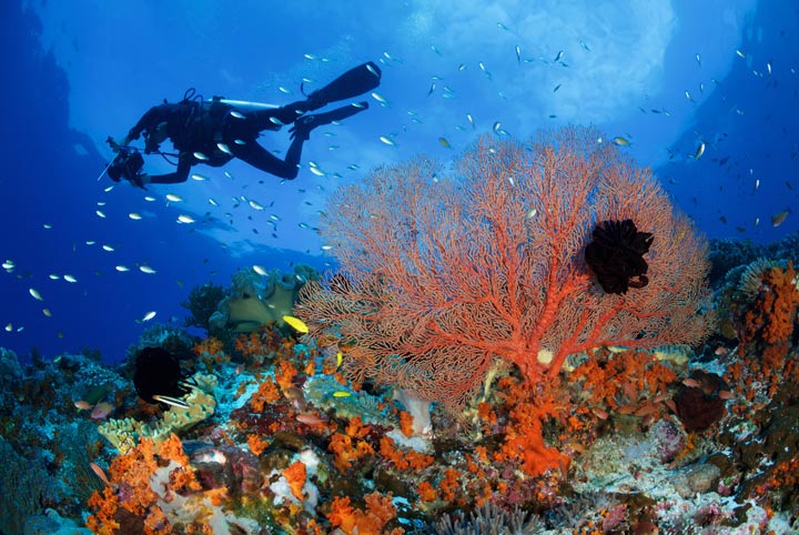
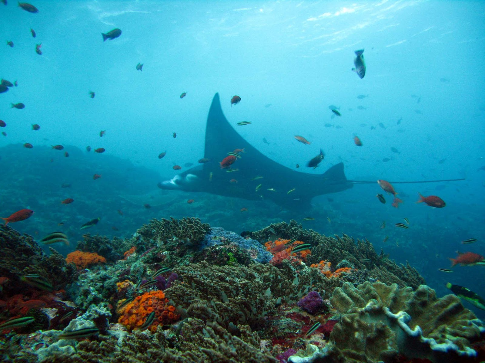
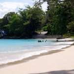
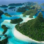
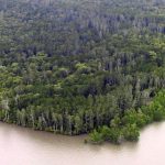
Teluk Cendrawasih national Park is the largest marine national park of Indonesia, located in Cenderawasih Bay, south-east of Bird’s Head Peninsula. It includes the islands of Mioswaar, Nusrowi, Roon, Rumberpon and Yoop. The park protects a rich marine ecosystem, with over 150 recorded coral species, for which it is considered a potential World Heritage Site.
Flora and fauna
 Extending over 14,535 km2, the national park includes coastal and mangrove ecosystems (0.9%), coral reefs (5.5%), island tropical forest ecosystems (3.8%), and marine waters (89.8%). Some 46 species of plant have been recorded on the islands, dominated by Bruguiera and Avicennia species, Nypa fruticans, Metroxylon sagu, Casuarina equisetifolia, and Terminalia catappa.
The coral reef ecosystem forms part of the Coral Triangle region. In the park, 150 species of coral have been recorded, consisting of 15 families and distributed on the shores of 18 islands. Among these are colonies of blue coral, black coral, Leptoseris species, Mycedium elephantotus, and Alcyonacea or soft corals. The percentage of live coral coverage varies from between 30-40% to 64-65%.
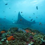
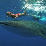
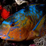
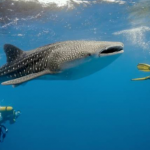
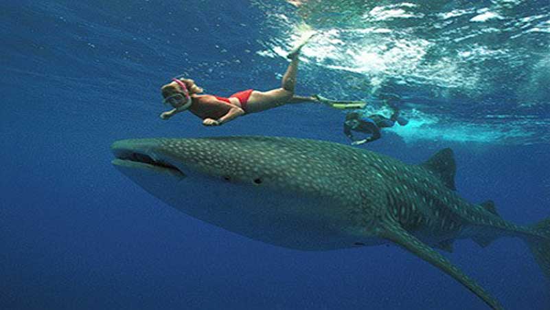 Over 200 fish species inhabit the park, among them butterflyfish, damselfish, parrotfish, rabbitfish, clownfish and sharks including whale sharks.
Species of mollusc include cowry, Strombidae, Lambis species, Charonia tritonis, and giant clam.
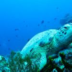
Four species of turtle are common in the park: the hawksbill turtle, green turtle, olive ridley turtle, and leatherback turtle. Mammals include dugong, blue whale and dolphins.
 Human and Conservation
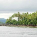
About 14,000 people live in 72 villages within the park. Several Austronesian languages are spoken in the area, which form part of the Cenderawasih languages branch and include: Wandamen, Dusner, Meoswar, Roon and Yeretuar.
Most of the park is part of Teluk Wondama Regency of West Papua province, while the eastern part is in Nabire Regency of Papua province.
In 1990, the area was designated as Teluk Cendrawasih Marine Nature Reserve. The national park was designated in 1993 and declared in 2002. The park is managed by Balai Taman Nasional with a personnel of 106.
Fak Fak
Kaimana
Manokwari
Manokwari Selatan
Maybrat
Pegunungan Arfak
Raja Ampat
Sorong
Sorong Selatan
Tambrauw
Teluk Bintuni
Teluk Wondama
Sorong