
 Bengkulu is a province of Indonesia. It is located on the southwest coast of Sumatra. It was formed on 18 November 1968 by separating out the former Bencoolen Residency area from the province of South Sumatra under Law No. 9 of 1967 and was finalized by Government Regulation No. 20 of 1968. Spread over 19,813 km2, it is bordered by the provinces of West Sumatra to the north, Jambi to the northeast, Lampung to the southeast, and South Sumatra to the east, and by the Indian Ocean to the northwest, south, southwest, and west.
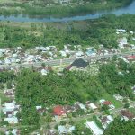
Bengkulu is the 25th largest province by area; it is divided into nine regencies and the city of Bengkulu, the capital and the only independent city. Bengkulu is also the 26th largest province by population in Indonesia, with 1,715,518 inhabitants at the 2010 Census and 2,010,670 at the 2020 Census; the official estimate as at mid 2021 was 2,032,941.
 Etymology
Traditional sources suggest that the name Bengkulu or Bangkahulu derived from the word bangkai and hulu which means ‘carcasses located in an stream’. According to the story, there was once a war between small kingdoms in Bengkulu, resulting in many casualties from both sides in the streams of Bengkulu. These casualties soon rotted as they were not buried, lying in river streams.
 This etymology is similar to the story of a war between the Majapahit Empire and the Pagaruyung Kingdom in Padang Sibusuk, an area once ruled by the Dharmasraya empire, which also derives the name Padang Sibusuk from casualties rotting on the battlefield. During the European colonial era, the region was known as Bencoolen or British Bencoolen.
 History
The region was subject to the Buddhist Srivijaya empire in the 8th century. The Shailendra Kingdom and Singosari Kingdom succeeded the Srivijaya but it is unclear whether they spread their influence over Bengkulu. The Majapahit also had little influence over Bengkulu. There were only few smalls ‘kedatuan’ based on ethnicity such as in Sungai Serut, Selebar, Pat Petulai, Balai Buntar, Sungai Lemau, Sekiris, Gedung Agung and Marau Riang.
 It became a vassal region of the Banten Sultanate (from Western Java) in the early 15th century and since the 17th century was ruled by Minangkabau’s Inderapura Sultanate (today’s in Pesisir Selatan, West Sumatra Province).
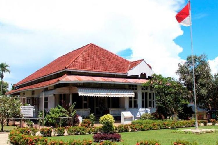
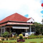
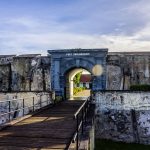
During Sukarno’s imprisonment by the Dutch in the early 1930s, the future first president of Indonesia lived briefly in Bengkulu. Here he met his wife, Fatmawati, who bore him several children, one of whom, Megawati Sukarnoputri, became Indonesia’s first female President.
During early independence, Bengkulu was included in the older ‘South Sumatera’ Province with Lampung, the Bangka-Belitung Archipelago and what became South Sumatera itself, as a Residency. It finally gained its provincial status in 1968 as the 26th province (prior to the last province: East Timor).


 Geography
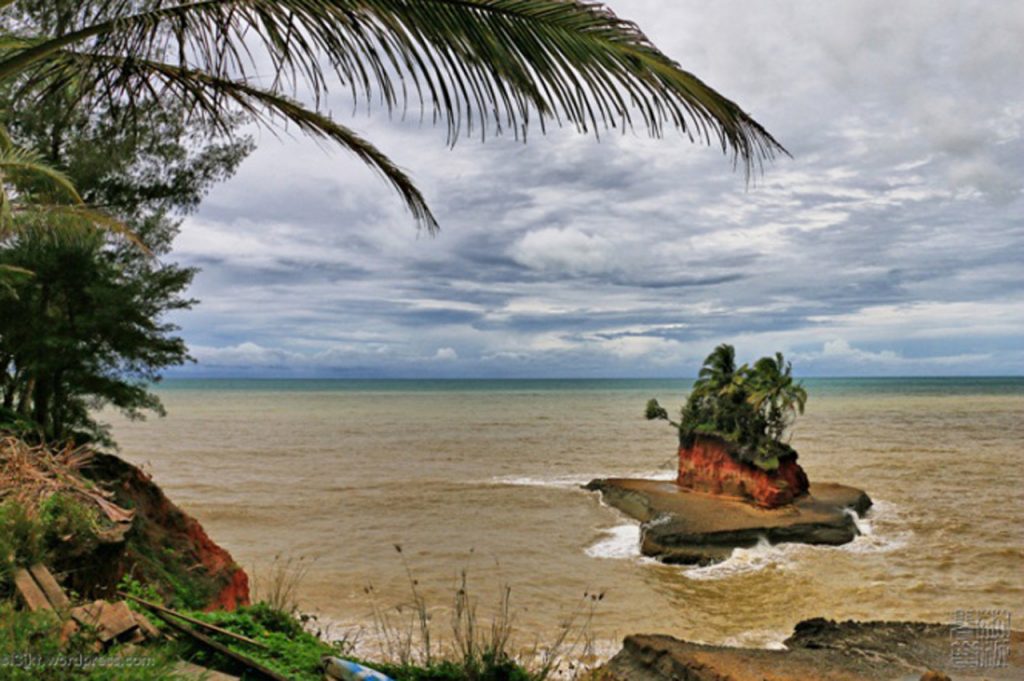
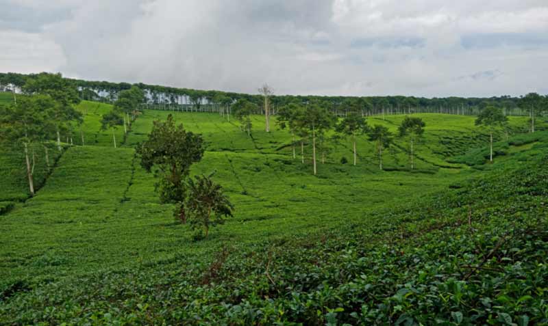
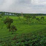
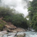
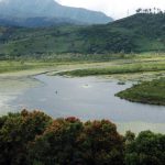
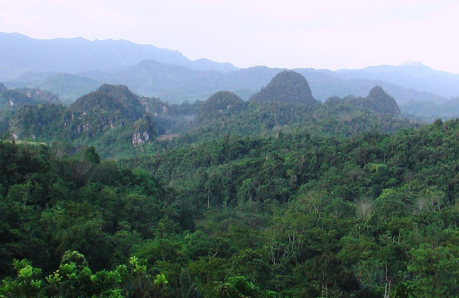
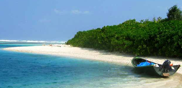
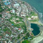
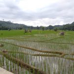
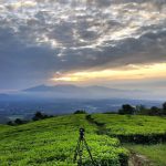
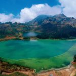
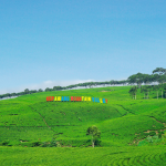
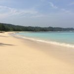
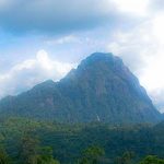
The western part of Bengkulu province, bordering the Indian Ocean coast, is about 576 km along, and the eastern part of the condition is hilly with a plateau that is prone to erosion. Bengkulu Province is on the west side of the Bukit Barisan mountains.
The province’s area is about 19,788.7 square kilometers. The province extends from the border province of West Sumatra to the border province of Lampung; the distance is about 567 kilometers. Bengkulu Province lies between 2° 16′ S and 03° 31′ S latitude and 101° 01′-103° 41’E longitude.
 Bengkulu province in the north bordering the province of West Sumatra, in the southern Indian Ocean and Lampung province, in the west bordering the Indian Ocean and in the east with the province of Jambi and South Sumatra Province. Bengkulu province bordered by the Indian Ocean coastline of approximately 525 kilometers. Its western part is hilly with fertile plateaus, while the western part is lowland relatively narrow, elongated from north to south and punctuated selangi bumpy areas.
Bengkulu’s climate is classified as tropical. Bengkulu has a large amount of rainfall throughout the year, even in the driest month. The climate here is classified as Af by the Köppen-Geiger system. The annual average temperature is 26.8 °C. The average annual rainfall is 3360 mm. The total area of Bengkulu province is 19,919.33 km2. For administrative purposes, the province is divided into nine regencies and one city, together sub-divided into 93 districts.
 Demography
The 2010 census reported a population of 1,715,518 including 875,663 males and 837,730 females; by the 2020 Census this had risen to 2,010,670, and the official estimate for mid 2021 was 2,032,942.
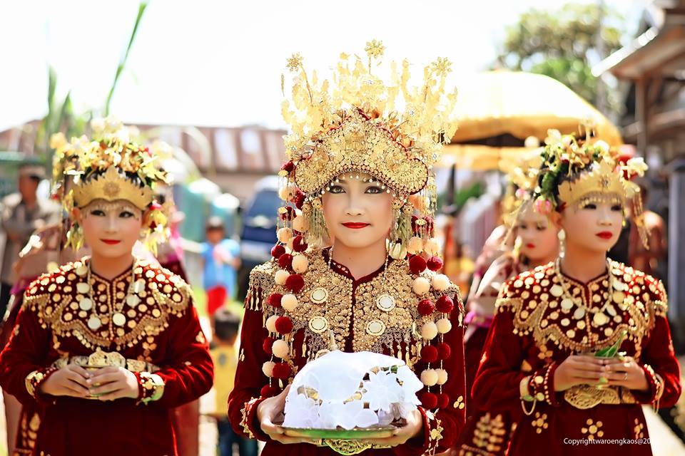
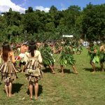
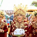
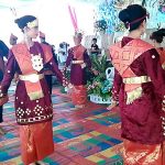
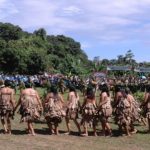
Ethnic groups Bengkulu is home to various indigenous ethnic groups. The Rejangs form the majority of the province with 60,4% of the population. The second largest ethnic group is the Javanese forming around 24%. Other minority indigenous ethnic groups includes Lembak, Serawai, Pekal, Enggano, Pasemah, Minangkabau and Malays.
 There is also non-indigenous ethnic groups that mostly came from other parts of Indonesia such as Sundanese, Javanese, Acehnese, Madurese, Batak, Chinese and others.
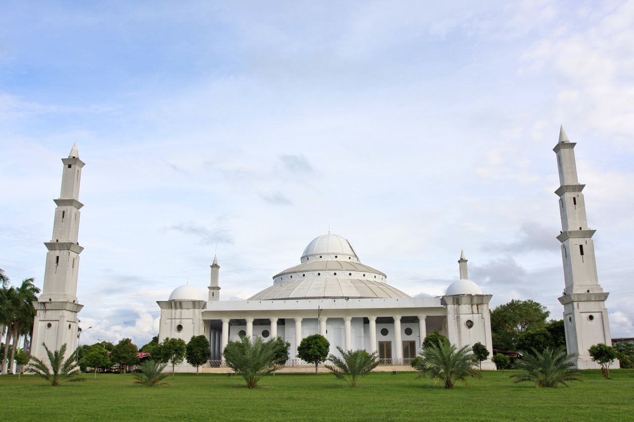
Religion. The 2010 census found 97.29% of the population as adherents to Islam and 2.04% as Christian. The remainder includes Hindus (0.22%) who are mostly Balinese migrants, Buddhists (0.13%), and “other” including traditional beliefs (0.32%).
Languages. Like the rest of Indonesia, Indonesian is the official language for formal occasions, institutions, and government affairs while local languages are widely used in daily life.
 Most indigenous languages in Bengkulu belong to the Malayan group of Austronesian languages, such as Bengkulu Malay, Lembak, Pekal and Minangkabau varieties. The most widely spoken language in the province, Rejang, is the only Bornean language to be spoken in Sumatra (and one of three outside of Borneo other than Malagasy in Madagascar and Yakan in Basilan).
Engganese is classified as a highly divergent branch of Malayo-Polynesian, however, this is still debated. A less-studied language is Nasal language, which may be related to Rejang or form its own branch of Malayo-Polynesian. Non-indigenous ethnic groups also speak their own language/dialects.
Bengkulu
Seluma
Rejang Lebong
Mukomuko
Lebong
Kepahiang
Kaur

Bengkulu Utara
Bengkulu Tengah
Bengkulu Selatan